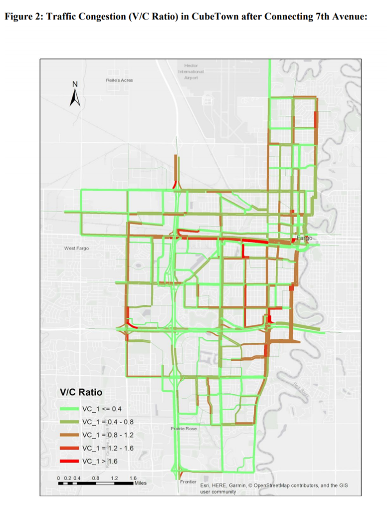
These memos describe two modeling exercises completed in CUBE, a software suite used in transportation and land use modeling. Taking Fargo, ND as a hypothetical “CubeTown,” the first memo considers the congestion effects from reconnecting two previously disconnected segments of road, and the second analyzes the potential ridership effects from the success or failure of a measure to increase funding for the town’s transit operator. Both memos use CUBE to implement the traditional four-step travel demand model, with supplementary graphics created in ArcMap.
To open the first memo in a new tab, click here.
To open the second memo in a new tab, click here.
To return to the portfolio, click here.